Your Headline
Paul Revere's Ride map - This is a National Park Service map of Paul Revere's Ride showing the route he took on his famous midnight ride on
April 18, 1775 to warn the patriots in Lexington and Concord that the British were coming. The map also shows the routes
of William Dawes and Samuel Prescott, two others who rode with him that night. You can click on the map to view a larger
image.

Paul Revere's Ride Map
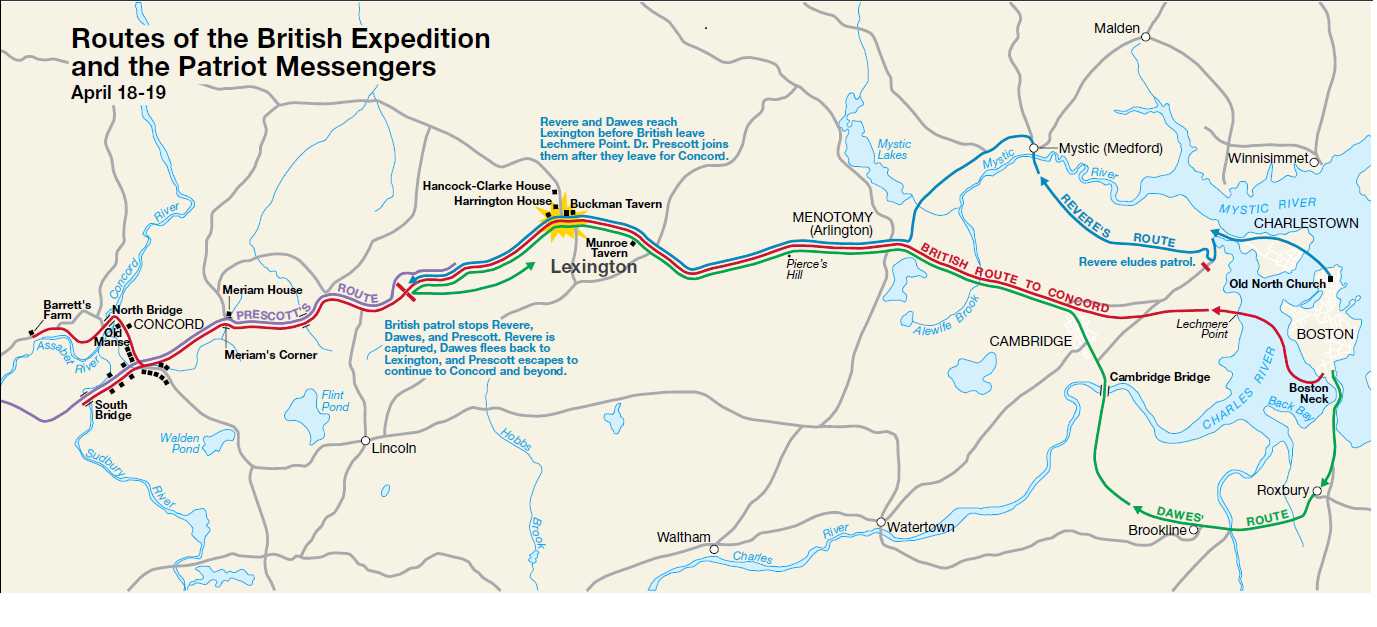
Click to view Larger Version
Return to Paul Revere's Ride
Return to Facts on Paul Revere
Paul Revere poem
Revolutionary War and Beyond Home
Like This Page?
© 2008 - 2022 Revolutionary-War-and-Beyond.com Dan & Jax Bubis

This book is as exact a reproduction of this wonderful little book published in 1895 as we could produce. You will find words spelled and hyphenated the way they are in the original.
Our goal at Battle Road Books is to keep the history of the Revolutionary War alive and vibrant and easily accessible. We also don’t think you should pay an arm and a leg just to read these old books.

Get your Favorite Flag on a coffee mug. Or maybe your favorite Founding Fathers Quote on a travel mug. Custom Orders welcome.

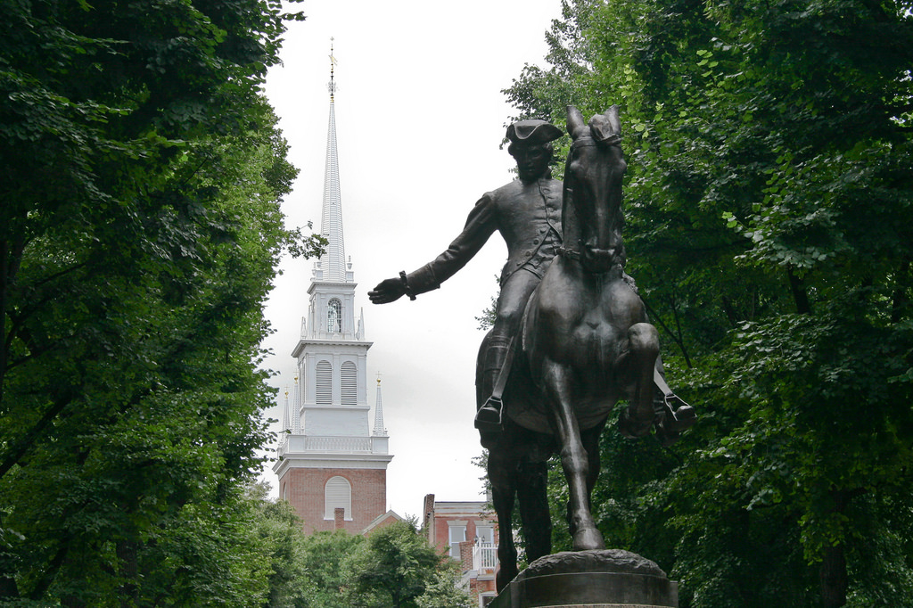
Visit our Sister Site - Revive 1775
YES! You can now sponsor your favorite page on Revolutionary War and Beyond. Click below for information.


Homepage | Newsletter | Causes | Declaration | Bill of Rights | Founders
Facts | Flags | Quotes | Games | Attractions | Documents | Blog | Store | Advertise
 |
|
Privacy | Sitemap | Citations | Contact
Revolutionary War and Beyond © 2008-2019
Facebook Comments